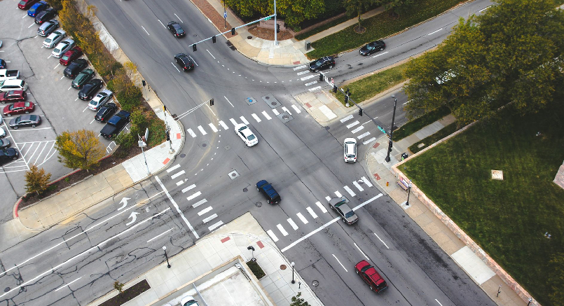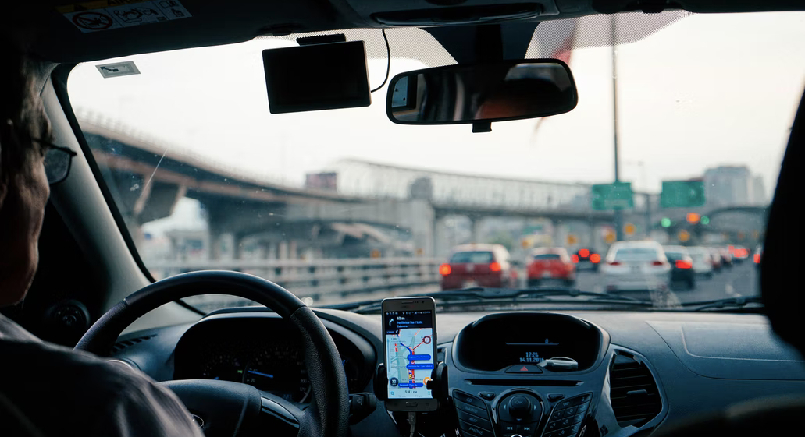
Hinzu kam der wachsende Strassenbahnverkehr. Dadurch verdichtete sich der Gesamtverkehr in der Stadt Zürich an manchen Stellen so sehr, dass es immer häufiger zu tödlichen Unfällen kam. Also mussten Strassen und Plätze dem zunehmenden Verkehr angepasst werden. Deshalb begann das Bebauungsplanbüro Zürich 1929 mit der ersten gründlichen Verkehrszählung. Dafür stellte das städtische Polizeiinspektorat extra sein Personal zur Verfügung. An Digitalisierung war zu dieser Zeit noch lange nicht zu denken. Heute geht das mit TAPS Sensoren alles viel einfacher.
The first movement profiles of road users
In the years before 1929, there was only a relatively simple traffic count, in which all vehicles were counted in a time window of 10 minutes, from handcarts to bicycles, motorbikes to automobiles or motorised commercial vehicles or horse-drawn vehicles. Later it was realised that this was no longer accurate enough. The first thorough traffic counts therefore focused on motorised vehicles, and the first movement profiles were created by using the control numbers of the motorised vehicles.
A comparison of the numbers at the individual counting stations then provided information on the distances travelled by motorbikes, automobiles and commercial vehicles. Vehicles without engines were only recorded in terms of the number of units. The counting was simplified by the fact that the control numbers of the Zurich motor vehicles consisted only of three-digit control numbers and a serial letter. This made them relatively easy to trace.
What conclusions were drawn from the first traffic counts in Zurich?

In the spring of 1929, Zurich had an extreme traffic mix of commuters, through traffic from the surrounding areas and parts of the city's business traffic. At that time, all directions of traffic were still allowed on Bellevueplatz. However, this resulted in congestion at the bridgehead where Utoquai Bridge, Theaterstrasse and Rämistrasse meet. Traffic often backed up over the entire Quaibrücke, especially at midday. It was not uncommon for the traffic jam to extend beyond Bürkliplatz. It was urgently time to remedy this situation. Therefore, in October 1930, a provisional traffic regulation was introduced, which considerably relieved the Bellevueplatz.
First findings at rush hour
During the 14-hour observation period in spring 1929, a total of 20,715 vehicles were counted on Bellevueplatz. Among them were 3,640 tram cars. The remaining vehicles were one third motor vehicles and one quarter bicycles. The rest were handcarts and horse-drawn vehicles, which did not play a major role in the count. However, it was noticeable that around lunchtime, when the shops were closed, there were significantly more bicycles on the road. Similar results were obtained on the Quai Bridge.
The count also provided insights into the utilisation of the tram, whose peak times coincided with the rush hours of cars, either into the city centre before the start of business or out of the city again after the end of business. With the tram, however, about the same number of cars have to run in the less frequented opposite direction, as they have to be used for the rush hour traffic on the opposite side of the city sector. A solution has also been found for this. So-called supplement trains regulate the demand for space and reduce empty runs. Some of them turn around at the edge of the city centre at the Bellevueplatz track loop.
What modern traffic counting solutions do we offer?

Traffic counts will continue to be important in the future, but today, in a city like Zurich, no one has to stand on the street, in a square or on a bridge to note down all the vehicles individually. That would be almost impossible with today's traffic and the various number plates. Instead, more modern technology have long been available to count and evaluate traffic in a city like Zurich. Thanks to modern technology and digitalisation, a lot of effort can be saved in the evaluation.
We at LTS offer solutions for commercial customers and companies for the accurate counting of all road users at all relevant locations, for example on squares, roads and bridges, or wherever it is necessary. With TAPS Smart Traffic and the corresponding software, we offer complete solutions for traffic and parking management for architects or city planners, commercial providers of parking areas and car parks. service areas, airports and many more who want to save time and nerves of their customers and reduce the emission of pollutants when searching for parking spaces by installing parking sensors.
Hardware and software such as the parking management software from LTS offer numerous advantages in the management of parking areas, also for people with a handicap or women's parking spaces. The management of charging stations for e-cars, truck parking spaces and many other forward-looking features can be included in the counting of traffic.


)
)